Elizabeth Leitman
@WxLiz
45,710
Followers
3,170
Following
6,219
Media
53,945
Statuses
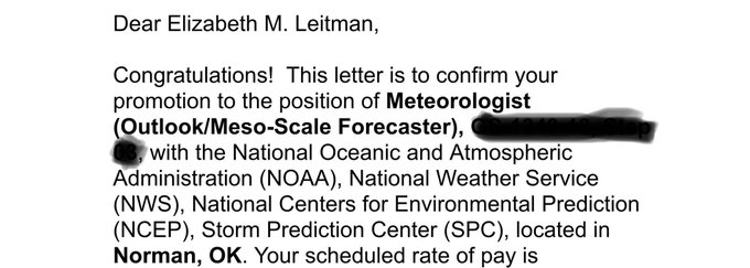
Severe Storms Meteorologist - wife/mom - ENTP - book/music lover - poetry/lyrics - ADHD/mental health advocate - STL sports. Thoughts mine, not employers.
Norman, OK
Joined August 2012
Don't wanna be here?
Send us removal request.